KGeoTag
Категорії: Graphics Photography
A photo geotagging utility
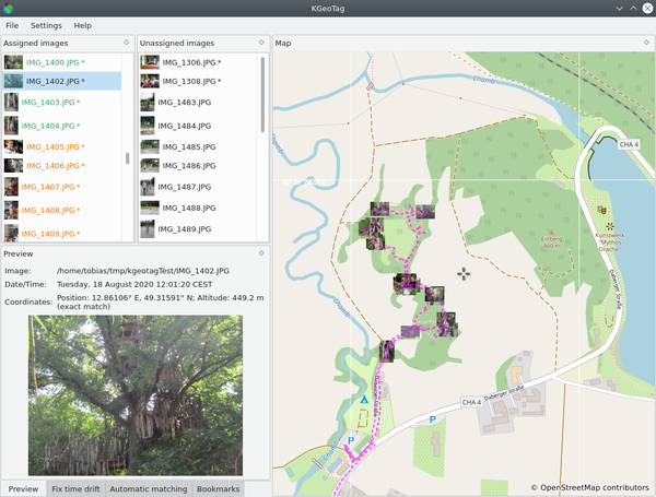
KGeoTag is a standalone geotagging program. Images can be associated with geographic coordinates by different means: On the one hand, a matching with GPX encoded geodata can be done, on the other hand, the coordinates can be set manually, either via drag and drop onto a map, via bookmarks or by manually supplying them. The coordinates can be stored in the images' Exif header and/or in XMP sidecar files.
Для openSUSE Leap 16.0 відсутній офіційний пакунокДистрибутиви
openSUSE Tumbleweed
KDE:Unstable:Extra
Експериментально
1.0.0git.20260220T015...
SLFO 1.2
Непідтримувані дистрибутиви
Наступні дистрибутиви офіційно не підтримуються. Використовуйте ці пакунки на власний ризик.
